Lane to Higher Penn
Introduction
The photograph on this page of Lane to Higher Penn by Derek Harper as part of the Geograph project.
The Geograph project started in 2005 with the aim of publishing, organising and preserving representative images for every square kilometre of Great Britain, Ireland and the Isle of Man.

There are currently over 7.5m images from over 14,400 individuals and you can help contribute to the project by visiting https://www.geograph.org.uk
Lane to Higher Penn
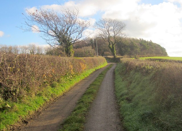
Image: © Derek Harper Taken: 9 Dec 2013
The lane passes Staverton Bridleway 17 at the second tree, and turns sharp left when it reaches Penn Plantation, where it meets Staverton Bridleway 16.
Images are licensed for reuse under creativecommons.org/licenses/by-sa/2.0
Image Location
Latitude
50.488471
Longitude
-3.743997