Barn, Baddaford
Introduction
The photograph on this page of Barn, Baddaford by Derek Harper as part of the Geograph project.
The Geograph project started in 2005 with the aim of publishing, organising and preserving representative images for every square kilometre of Great Britain, Ireland and the Isle of Man.

There are currently over 7.5m images from over 14,400 individuals and you can help contribute to the project by visiting https://www.geograph.org.uk
Barn, Baddaford
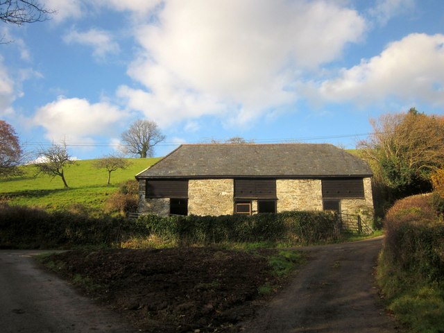
Image: © Derek Harper Taken: 9 Dec 2013
Seen on the right of Image], with a not very grassy triangle at the lane junction in the foreground. Behind the barn is a small orchard.
Images are licensed for reuse under creativecommons.org/licenses/by-sa/2.0
Image Location
Latitude
50.491522
Longitude
-3.756375