Bridleway to Baddaford
Introduction
The photograph on this page of Bridleway to Baddaford by Derek Harper as part of the Geograph project.
The Geograph project started in 2005 with the aim of publishing, organising and preserving representative images for every square kilometre of Great Britain, Ireland and the Isle of Man.

There are currently over 7.5m images from over 14,400 individuals and you can help contribute to the project by visiting https://www.geograph.org.uk
Bridleway to Baddaford
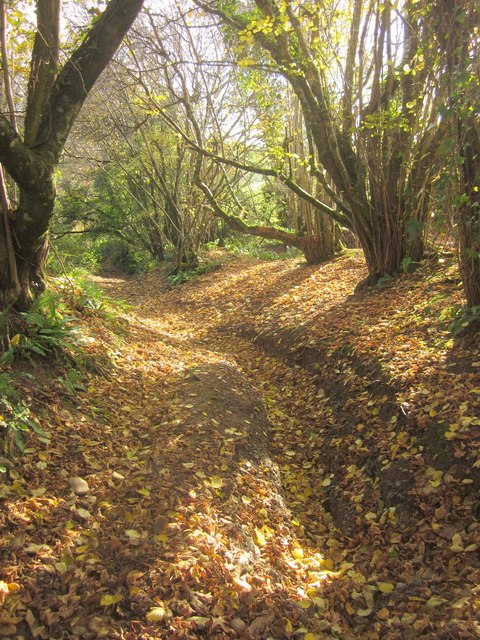
Image: © Derek Harper Taken: 9 Dec 2013
Further down Staverton Bridleway 42 from Image], with a covering of fallen leaves on the ground, but still the narrow central gully.
Images are licensed for reuse under creativecommons.org/licenses/by-sa/2.0
Image Location
Latitude
50.493138
Longitude
-3.756576