Ridding Close flats in Shirley, Southampton
Introduction
The photograph on this page of Ridding Close flats in Shirley, Southampton by Jaggery as part of the Geograph project.
The Geograph project started in 2005 with the aim of publishing, organising and preserving representative images for every square kilometre of Great Britain, Ireland and the Isle of Man.

There are currently over 7.5m images from over 14,400 individuals and you can help contribute to the project by visiting https://www.geograph.org.uk
Ridding Close flats in Shirley, Southampton
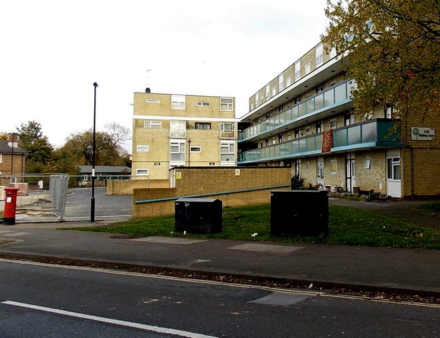
Image: © Jaggery Taken: 16 Nov 2013
Viewed across Victor Street.
Images are licensed for reuse under creativecommons.org/licenses/by-sa/2.0
Image Location
Latitude
50.923986
Longitude
-1.432268