Green lane by Lavender House
Introduction
The photograph on this page of Green lane by Lavender House by Derek Harper as part of the Geograph project.
The Geograph project started in 2005 with the aim of publishing, organising and preserving representative images for every square kilometre of Great Britain, Ireland and the Isle of Man.

There are currently over 7.5m images from over 14,400 individuals and you can help contribute to the project by visiting https://www.geograph.org.uk
Green lane by Lavender House
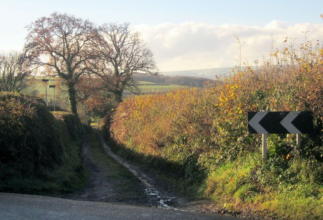
Image: © Derek Harper Taken: 9 Dec 2013
This route with public access leaves the lane shown in Image] as it bends past the Lavender House Hotel, whose car park is behind the hedge on the left.
Images are licensed for reuse under creativecommons.org/licenses/by-sa/2.0
Image Location
Latitude
50.51442
Longitude
-3.770625