Houses at Hele
Introduction
The photograph on this page of Houses at Hele by Derek Harper as part of the Geograph project.
The Geograph project started in 2005 with the aim of publishing, organising and preserving representative images for every square kilometre of Great Britain, Ireland and the Isle of Man.

There are currently over 7.5m images from over 14,400 individuals and you can help contribute to the project by visiting https://www.geograph.org.uk
Houses at Hele
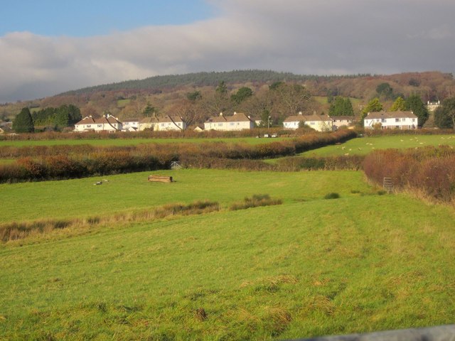
Image: © Derek Harper Taken: 9 Dec 2013
A detail of the scene in Image, again with the source of the small stream and the field boundaries. In the background is the wooded high ground around Ausewell Rocks.
Images are licensed for reuse under creativecommons.org/licenses/by-sa/2.0
Image Location
Latitude
50.519912
Longitude
-3.770266