A38 approaching Webbs of Wychbold
Introduction
The photograph on this page of A38 approaching Webbs of Wychbold by David P Howard as part of the Geograph project.
The Geograph project started in 2005 with the aim of publishing, organising and preserving representative images for every square kilometre of Great Britain, Ireland and the Isle of Man.

There are currently over 7.5m images from over 14,400 individuals and you can help contribute to the project by visiting https://www.geograph.org.uk
A38 approaching Webbs of Wychbold
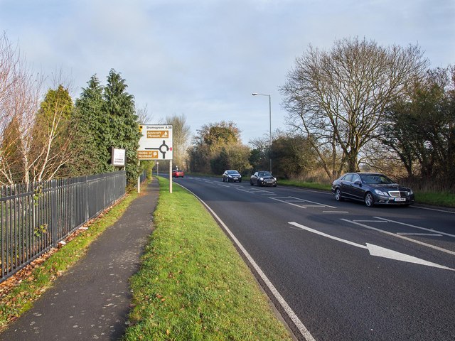
Image: © David P Howard Taken: 11 Dec 2013
Looking north east along the A38 as it approaches the roundabout junction for Webbs of Wychbold, a large garden centre.
Images are licensed for reuse under creativecommons.org/licenses/by-sa/2.0
Image Location
Latitude
52.301436
Longitude
-2.103782