Siloh Crescent, Swansea
Introduction
The photograph on this page of Siloh Crescent, Swansea by Jaggery as part of the Geograph project.
The Geograph project started in 2005 with the aim of publishing, organising and preserving representative images for every square kilometre of Great Britain, Ireland and the Isle of Man.

There are currently over 7.5m images from over 14,400 individuals and you can help contribute to the project by visiting https://www.geograph.org.uk
Siloh Crescent, Swansea
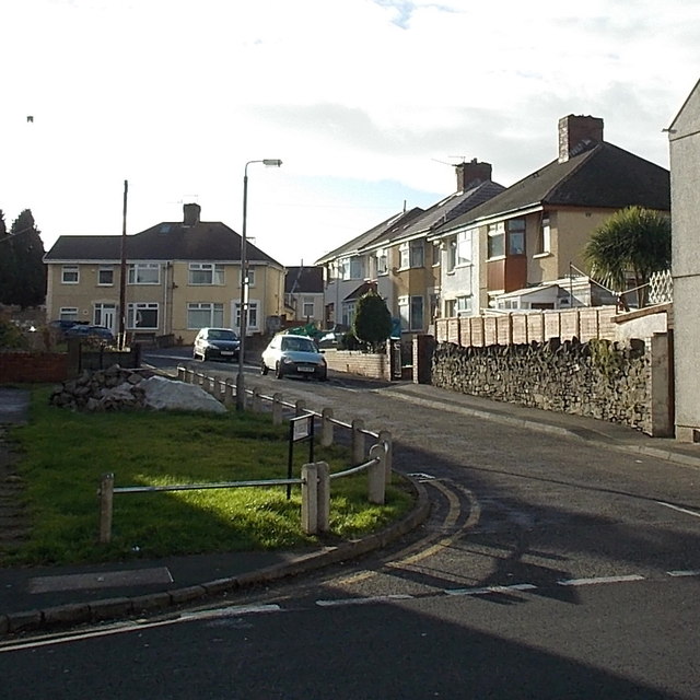
Image: © Jaggery Taken: 6 Dec 2013
This straight 65 metre long cul-de-sac on the SW side of Siloh Road is curiously named. A crescent is usually a curved street or terrace. The biggest curve here is the turning circle at the end of the street.
Images are licensed for reuse under creativecommons.org/licenses/by-sa/2.0
Image Location
Latitude
51.644428
Longitude
-3.944538