Fron-gelyn on the road to Aifft
Introduction
The photograph on this page of Fron-gelyn on the road to Aifft by Andy Waddington as part of the Geograph project.
The Geograph project started in 2005 with the aim of publishing, organising and preserving representative images for every square kilometre of Great Britain, Ireland and the Isle of Man.

There are currently over 7.5m images from over 14,400 individuals and you can help contribute to the project by visiting https://www.geograph.org.uk
Fron-gelyn on the road to Aifft
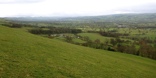
Image: © Andy Waddington Taken: 7 Dec 2013
The Clwydian Way skirts the top of this grassy slope above the Clwyd valley, which can be descended to just within the gridsquare which is visible below the byway (the sort of precaution taken by every geographer, especially when points are at stake). The road visible, meandering its way along the bottom of the slope, leads from Waen to Aifft, Bwlch, and Castell before dropping down to Dre-Gôch (possibly on its way trying to find somewhere beginning with "E").
Images are licensed for reuse under creativecommons.org/licenses/by-sa/2.0
Image Location
Latitude
53.195284
Longitude
-3.319572