The Knocknagoney Road, Belfast
Introduction
The photograph on this page of The Knocknagoney Road, Belfast by Albert Bridge as part of the Geograph project.
The Geograph project started in 2005 with the aim of publishing, organising and preserving representative images for every square kilometre of Great Britain, Ireland and the Isle of Man.

There are currently over 7.5m images from over 14,400 individuals and you can help contribute to the project by visiting https://www.geograph.org.uk
The Knocknagoney Road, Belfast
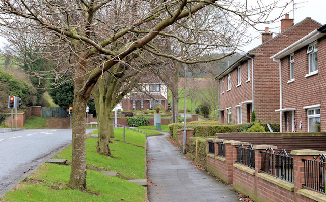
Image: © Albert Bridge Taken: 12 Dec 2013
The Old Holywood Road end of a suburban road running from the Holywood Road. The houses on the right are part of the Knocknagoney estate – explained in Image
Images are licensed for reuse under creativecommons.org/licenses/by-sa/2.0
Image Location
Latitude
54.617937
Longitude
-5.84991