Woodland in the valley south of Beara
Introduction
The photograph on this page of Woodland in the valley south of Beara by David Smith as part of the Geograph project.
The Geograph project started in 2005 with the aim of publishing, organising and preserving representative images for every square kilometre of Great Britain, Ireland and the Isle of Man.

There are currently over 7.5m images from over 14,400 individuals and you can help contribute to the project by visiting https://www.geograph.org.uk
Woodland in the valley south of Beara
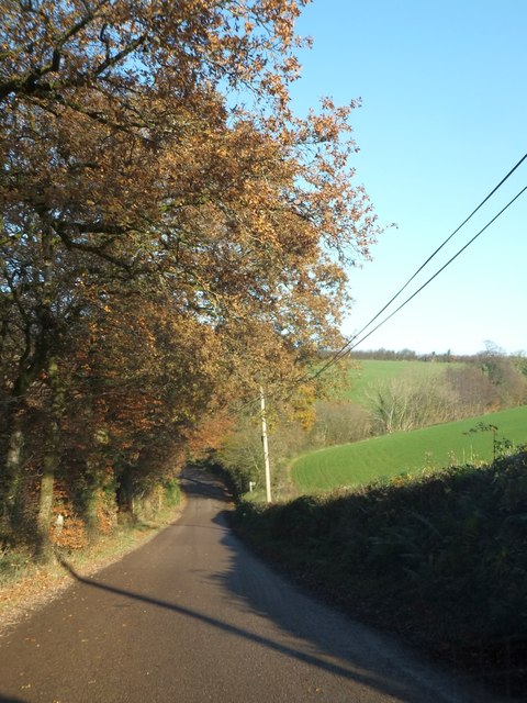
Image: © David Smith Taken: 9 Dec 2013
The road drops to cross a small stream, then rises past Beara on the northern side of the valley
Images are licensed for reuse under creativecommons.org/licenses/by-sa/2.0
Image Location
Latitude
50.954075
Longitude
-3.865454