On the ramparts of Ringsbury Camp, near Dogridge, Purton
Introduction
The photograph on this page of On the ramparts of Ringsbury Camp, near Dogridge, Purton by Vieve Forward as part of the Geograph project.
The Geograph project started in 2005 with the aim of publishing, organising and preserving representative images for every square kilometre of Great Britain, Ireland and the Isle of Man.

There are currently over 7.5m images from over 14,400 individuals and you can help contribute to the project by visiting https://www.geograph.org.uk
On the ramparts of Ringsbury Camp, near Dogridge, Purton
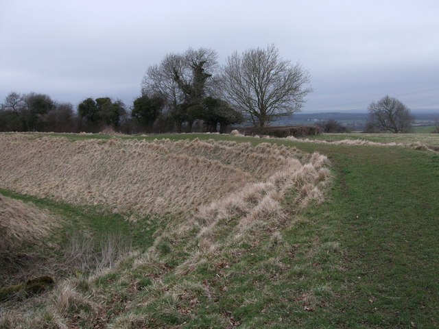
Image: © Vieve Forward Taken: 23 Mar 2010
Ringsbury Camp is a multivallate Iron Age hillfort. The area occupied by the hillfort is almost coterminous with a small area of sandstone overlying the edge of the limestone escarpment here. This sandstone, formerly known as Rhaxella Chert, is now named the Ringsbury Spiculate Member after its location. The location for the hillfort was perhaps carefully chosen for certain qualities inherent in this rock.
Images are licensed for reuse under creativecommons.org/licenses/by-sa/2.0
Image Location
Latitude
51.580461
Longitude
-1.891571