River Kent Kendal
Introduction
The photograph on this page of River Kent Kendal by edward mcmaihin as part of the Geograph project.
The Geograph project started in 2005 with the aim of publishing, organising and preserving representative images for every square kilometre of Great Britain, Ireland and the Isle of Man.

There are currently over 7.5m images from over 14,400 individuals and you can help contribute to the project by visiting https://www.geograph.org.uk
River Kent Kendal
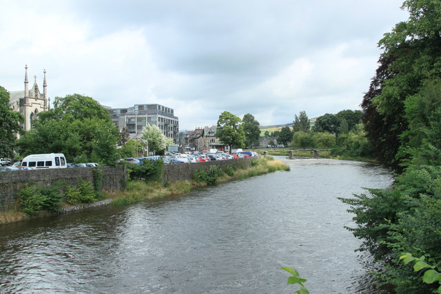
Image: © edward mcmaihin Taken: 29 Jul 2013
The River Kent viewed from the Miller Bridge.
Images are licensed for reuse under creativecommons.org/licenses/by-sa/2.0
Image Location
Latitude
54.327491
Longitude
-2.742793