Towards Wilton Farm
Introduction
The photograph on this page of Towards Wilton Farm by Derek Harper as part of the Geograph project.
The Geograph project started in 2005 with the aim of publishing, organising and preserving representative images for every square kilometre of Great Britain, Ireland and the Isle of Man.

There are currently over 7.5m images from over 14,400 individuals and you can help contribute to the project by visiting https://www.geograph.org.uk
Towards Wilton Farm
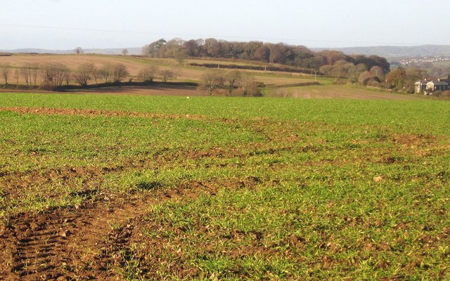
Image: © Derek Harper Taken: 30 Nov 2013
A detail of the scene in Image A few trees in the centre belong to Bake Wood, otherwise completely hidden in a valley. In the background is Highpark Wood.
Images are licensed for reuse under creativecommons.org/licenses/by-sa/2.0
Image Location


Leaflet Map data © OpenStreetMap
Latitude
50.400512
Longitude
-4.36936