Fellows Lane, Caergwrle
Introduction
The photograph on this page of Fellows Lane, Caergwrle by John S Turner as part of the Geograph project.
The Geograph project started in 2005 with the aim of publishing, organising and preserving representative images for every square kilometre of Great Britain, Ireland and the Isle of Man.

There are currently over 7.5m images from over 14,400 individuals and you can help contribute to the project by visiting https://www.geograph.org.uk
Fellows Lane, Caergwrle
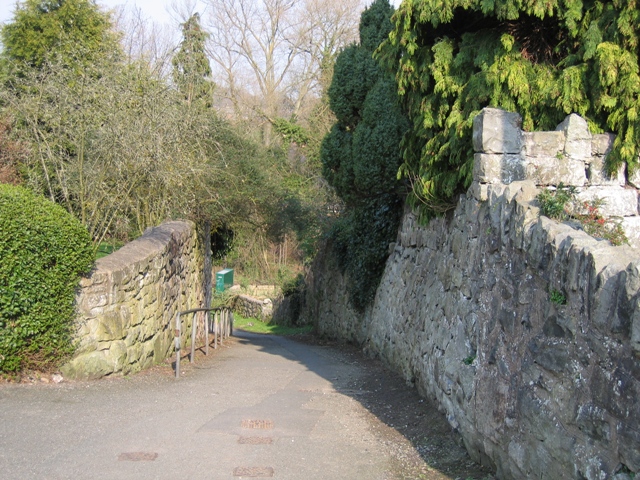
Image: © John S Turner Taken: 25 Mar 2007
The top of Fellows Lane where it meets Derby Road in Caergwrle. This lane drops down to cross the ancient packhorse bridge and then continues to meet the A550 between Caergwrle and Hope.
Images are licensed for reuse under creativecommons.org/licenses/by-sa/2.0
Image Location


Leaflet Map data © OpenStreetMap
Latitude
53.110779
Longitude
-3.03851