1 Reach Close, St Margaret?s at Cliffe
Introduction
The photograph on this page of 1 Reach Close, St Margaret?s at Cliffe by John Baker as part of the Geograph project.
The Geograph project started in 2005 with the aim of publishing, organising and preserving representative images for every square kilometre of Great Britain, Ireland and the Isle of Man.

There are currently over 7.5m images from over 14,400 individuals and you can help contribute to the project by visiting https://www.geograph.org.uk
1 Reach Close, St Margaret?s at Cliffe
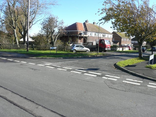
Image: © John Baker Taken: 10 Nov 2013
Viewed from Reach Road, the house is the one with scaffolding on its frontage. Planning permission has been granted by Dover District Council under application number DOV/12/00035 for the “erection of a first floor side extension”.
Images are licensed for reuse under creativecommons.org/licenses/by-sa/2.0
Image Location
Latitude
51.151477
Longitude
1.371498