The Slievetrue Road, Woodburn
Introduction
The photograph on this page of The Slievetrue Road, Woodburn by Albert Bridge as part of the Geograph project.
The Geograph project started in 2005 with the aim of publishing, organising and preserving representative images for every square kilometre of Great Britain, Ireland and the Isle of Man.

There are currently over 7.5m images from over 14,400 individuals and you can help contribute to the project by visiting https://www.geograph.org.uk
The Slievetrue Road, Woodburn
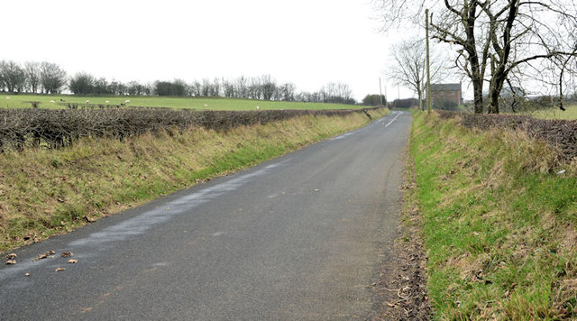
Image: © Albert Bridge Taken: 11 Dec 2013
See Image The Slievetrue Road looking back in the direction of Knockagh. This part of the road gives good (but distant) views of the wind farm Image
Images are licensed for reuse under creativecommons.org/licenses/by-sa/2.0
Image Location
Latitude
54.723149
Longitude
-5.906122