Former Wesley Villa, Prestwood
Introduction
The photograph on this page of Former Wesley Villa, Prestwood by David Hillas as part of the Geograph project.
The Geograph project started in 2005 with the aim of publishing, organising and preserving representative images for every square kilometre of Great Britain, Ireland and the Isle of Man.

There are currently over 7.5m images from over 14,400 individuals and you can help contribute to the project by visiting https://www.geograph.org.uk
Former Wesley Villa, Prestwood
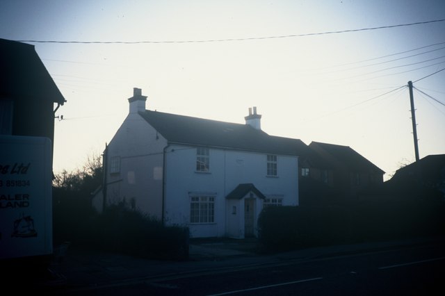
Image: © David Hillas Taken: 11 Jan 1995
Taken in January 1995, this photo shows Wesley Villa in Prestwood High Street which dates from the early 20th Century. It may have been a former Manse for the Minister of Prestwood Methodist Church just across the road. It was demolished in the late 1990s and 1/3 Maybush Gardens now occupies the site.
Images are licensed for reuse under creativecommons.org/licenses/by-sa/2.0
Image Location
Latitude
51.69945
Longitude
-0.7395