Sheffield and South Yorkshire Navigation at Thorne
Introduction
The photograph on this page of Sheffield and South Yorkshire Navigation at Thorne by Chris Morgan as part of the Geograph project.
The Geograph project started in 2005 with the aim of publishing, organising and preserving representative images for every square kilometre of Great Britain, Ireland and the Isle of Man.

There are currently over 7.5m images from over 14,400 individuals and you can help contribute to the project by visiting https://www.geograph.org.uk
Sheffield and South Yorkshire Navigation at Thorne
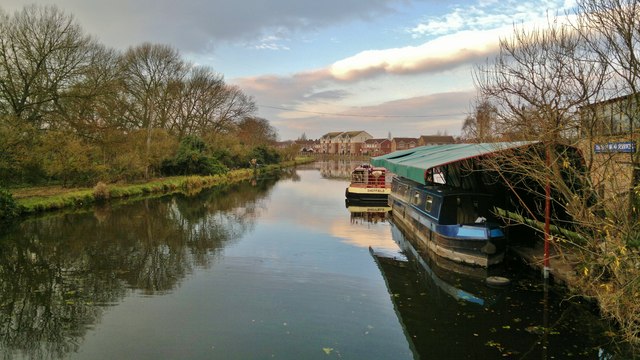
Image: © Chris Morgan Taken: 10 Dec 2013
Stainforth and Keadby Canal section, looking west.
Images are licensed for reuse under creativecommons.org/licenses/by-sa/2.0
Image Location
Latitude
53.609625
Longitude
-0.965988