Beginning of Pennington Village
Introduction
The photograph on this page of Beginning of Pennington Village by mike smith as part of the Geograph project.
The Geograph project started in 2005 with the aim of publishing, organising and preserving representative images for every square kilometre of Great Britain, Ireland and the Isle of Man.

There are currently over 7.5m images from over 14,400 individuals and you can help contribute to the project by visiting https://www.geograph.org.uk
Beginning of Pennington Village
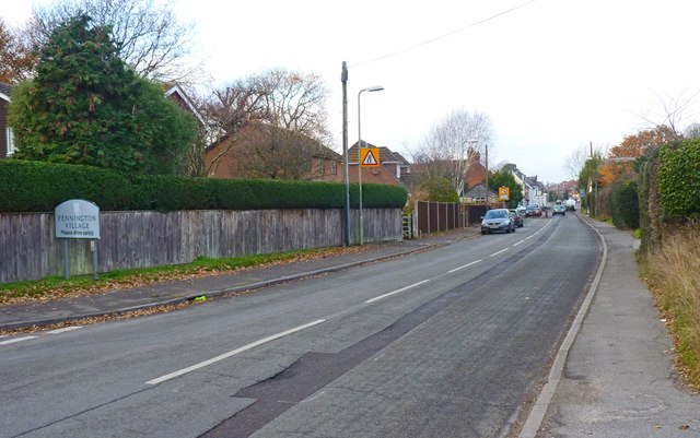
Image: © mike smith Taken: 10 Dec 2013
The sign on the left declares that you are now entering Pennington Village. The village is now a suburb of Lymington, but it still retains a village feel with local shops and a few thatched cottages. The road is South Street.
Images are licensed for reuse under creativecommons.org/licenses/by-sa/2.0
Image Location
Latitude
50.752415
Longitude
-1.558665