The Thames Path on Riverside
Introduction
The photograph on this page of The Thames Path on Riverside by Steve Daniels as part of the Geograph project.
The Geograph project started in 2005 with the aim of publishing, organising and preserving representative images for every square kilometre of Great Britain, Ireland and the Isle of Man.

There are currently over 7.5m images from over 14,400 individuals and you can help contribute to the project by visiting https://www.geograph.org.uk
The Thames Path on Riverside
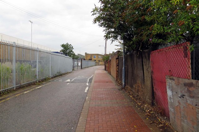
Image: © Steve Daniels Taken: 6 Sep 2013
The Thames Path is a National Trail, opened in 1996, following the length of the River Thames from its source near Kemble in Gloucestershire to the Thames Barrier at Charlton. It is about 184 miles long.
Images are licensed for reuse under creativecommons.org/licenses/by-sa/2.0
Image Location
Latitude
51.493404
Longitude
0.027085