Farmhouse and bridge
Introduction
The photograph on this page of Farmhouse and bridge by Richard Mudhar as part of the Geograph project.
The Geograph project started in 2005 with the aim of publishing, organising and preserving representative images for every square kilometre of Great Britain, Ireland and the Isle of Man.

There are currently over 7.5m images from over 14,400 individuals and you can help contribute to the project by visiting https://www.geograph.org.uk
Farmhouse and bridge
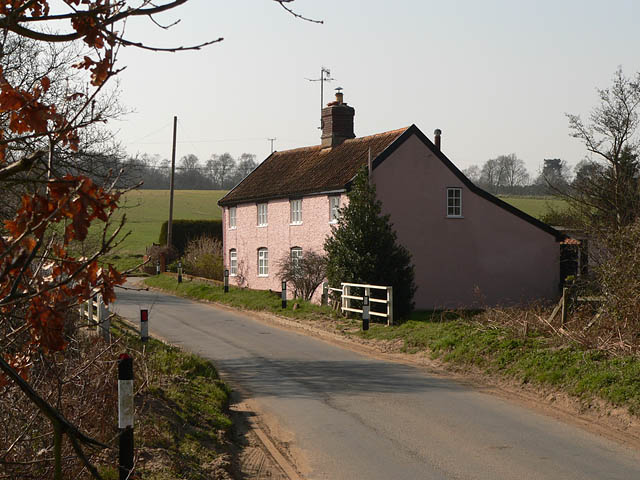
Image: © Richard Mudhar Taken: 25 Mar 2007
This house is next to the bridge over the river Tang (white railings are part of the bridge)
Images are licensed for reuse under creativecommons.org/licenses/by-sa/2.0
Image Location
Latitude
52.071593
Longitude
1.45109