Braes of Glenlivet
Introduction
The photograph on this page of Braes of Glenlivet by Alan O'Dowd as part of the Geograph project.
The Geograph project started in 2005 with the aim of publishing, organising and preserving representative images for every square kilometre of Great Britain, Ireland and the Isle of Man.

There are currently over 7.5m images from over 14,400 individuals and you can help contribute to the project by visiting https://www.geograph.org.uk
Braes of Glenlivet
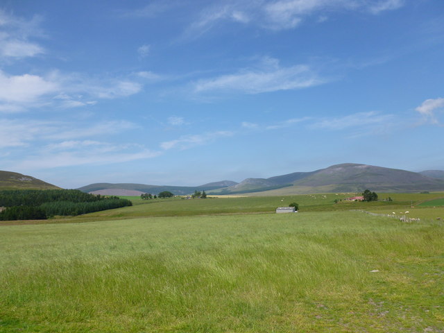
Image: © Alan O'Dowd Taken: 22 Jul 2013
Carn an t-Suidhe and Corryhabbie Hill rise above Eskemore.
Images are licensed for reuse under creativecommons.org/licenses/by-sa/2.0
Image Location
Latitude
57.282213
Longitude
-3.259955