Welcome to Dundonald
Introduction
The photograph on this page of Welcome to Dundonald by Albert Bridge as part of the Geograph project.
The Geograph project started in 2005 with the aim of publishing, organising and preserving representative images for every square kilometre of Great Britain, Ireland and the Isle of Man.

There are currently over 7.5m images from over 14,400 individuals and you can help contribute to the project by visiting https://www.geograph.org.uk
Welcome to Dundonald
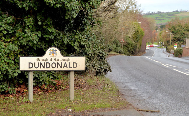
Image: © Albert Bridge Taken: 9 Dec 2013
A Castlereagh Borough Council sign on the Comber Road, on the inward side of the New Line. Castlereagh district will cease to exist after the reorganisation of local government. To quote from the Council’s website “In April 2015, as part of the reform of local government in Northern Ireland (previously known as the Review of Public Administration), the majority of households in Castlereagh will merge with Lisburn City Council with 38% of the population of Castlereagh and 21% of Lisburn moving to the new Belfast City Council.” My reading of the map is that the area on the left will be part of the Ballyhanwood ward and the right the Enler ward of the new Lisburn and Castlereagh district. The original “Castlereagh” was a barony http://en.wikipedia.org/wiki/Barony_(Ireland) – later divided into Castlereagh Upper and Lower. This link http://www.proni.gov.uk/index/local_history/geographical_index/baronies_.htm is to a map of the NI baronies. Their names survive for conveyancing and registration of title.
Images are licensed for reuse under creativecommons.org/licenses/by-sa/2.0
Image Location
Latitude
54.584022
Longitude
-5.797707