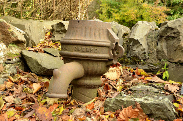
Old pump, Dundonald (1)
Introduction
The photograph on this page of Old pump, Dundonald (1) by Albert Bridge as part of the Geograph project.
The Geograph project started in 2005 with the aim of publishing, organising and preserving representative images for every square kilometre of Great Britain, Ireland and the Isle of Man.
There are currently over 7.5m images from over 14,400 individuals and you can help contribute to the project by visiting https://www.geograph.org.uk

Image: © Albert Bridge Taken: 9 Dec 2013
The remains of an old pump on the Comber Road. Not listed but referred to in the list where the description includes “A cow tail closed head lever pump with a plain shaped spirally decorated column and a fluted cap. 'Grainger & Son Comber' is embossed around the top of the column. It is located in a walled recess on the east side of the road outside several semidetached houses which it served. Not shown on the 1919 OS 25 inch map (PRONI Ref OS 10/3/5/10/4); first shown on the 1931 edition (/2). A local informant sated [sic] that it worked until the arrival of mains water in 1963.” Image shows the inscription.

