Road to Sacombe Green
Introduction
The photograph on this page of Road to Sacombe Green by Bikeboy as part of the Geograph project.
The Geograph project started in 2005 with the aim of publishing, organising and preserving representative images for every square kilometre of Great Britain, Ireland and the Isle of Man.

There are currently over 7.5m images from over 14,400 individuals and you can help contribute to the project by visiting https://www.geograph.org.uk
Road to Sacombe Green
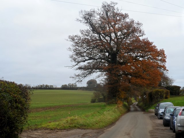
Image: © Bikeboy Taken: 2 Dec 2013
Winter wheat field on the left. Early December and the trees have lost most, but not all of their leaves.
Images are licensed for reuse under creativecommons.org/licenses/by-sa/2.0
Image Location


Leaflet Map data © OpenStreetMap
Latitude
51.858788
Longitude
-0.064871