Bacup, Plantation Street
Introduction
The photograph on this page of Bacup, Plantation Street by David Dixon as part of the Geograph project.
The Geograph project started in 2005 with the aim of publishing, organising and preserving representative images for every square kilometre of Great Britain, Ireland and the Isle of Man.

There are currently over 7.5m images from over 14,400 individuals and you can help contribute to the project by visiting https://www.geograph.org.uk
Bacup, Plantation Street
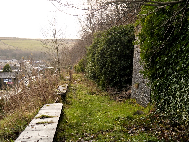
Image: © David Dixon Taken: 8 Dec 2013
On the hillside, above Market Street, Plantation Street was home to hundreds of mill operatives who worked in the cotton mills of Bacup during the industrial revolution; the local MP condemned the slums of Bacup as "worse than the slums of London and Glasgow". Plantation Street and Market Street were demolished in the 1960s.
Images are licensed for reuse under creativecommons.org/licenses/by-sa/2.0
Image Location
Latitude
53.700386
Longitude
-2.201413