The Gloucester to Chepstow Line
Introduction
The photograph on this page of The Gloucester to Chepstow Line by Stuart Wilding as part of the Geograph project.
The Geograph project started in 2005 with the aim of publishing, organising and preserving representative images for every square kilometre of Great Britain, Ireland and the Isle of Man.

There are currently over 7.5m images from over 14,400 individuals and you can help contribute to the project by visiting https://www.geograph.org.uk
The Gloucester to Chepstow Line
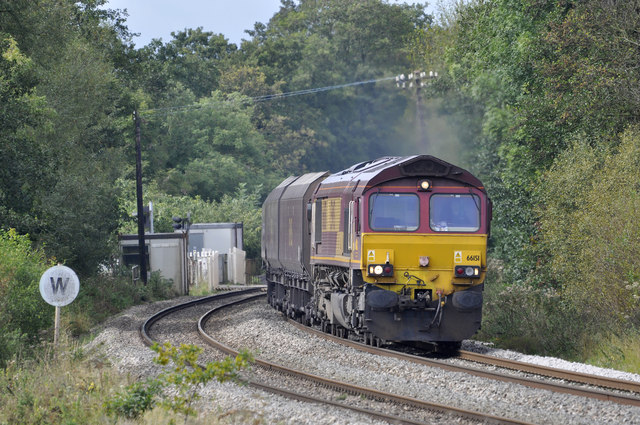
Image: © Stuart Wilding Taken: 21 Sep 2011
66151 heads north having just crossed Naas Lane level crossing.
Images are licensed for reuse under creativecommons.org/licenses/by-sa/2.0
Image Location
Latitude
51.720305
Longitude
-2.507774