North end of Shaw Ridge Linear Park
Introduction
The photograph on this page of North end of Shaw Ridge Linear Park by Robert Gourley as part of the Geograph project.
The Geograph project started in 2005 with the aim of publishing, organising and preserving representative images for every square kilometre of Great Britain, Ireland and the Isle of Man.

There are currently over 7.5m images from over 14,400 individuals and you can help contribute to the project by visiting https://www.geograph.org.uk
North end of Shaw Ridge Linear Park
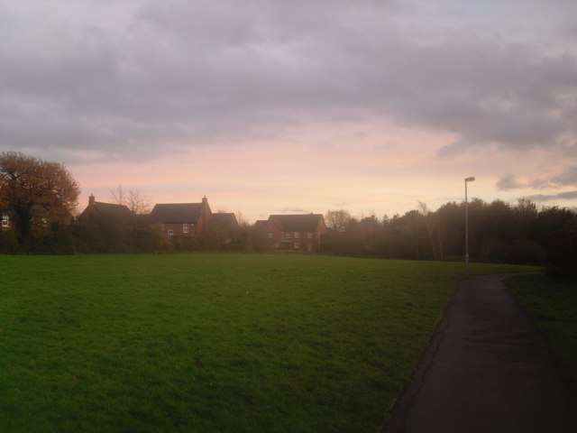
Image: © Robert Gourley Taken: 8 Dec 2013
This area is one of the highest points in West Swindon.
Images are licensed for reuse under creativecommons.org/licenses/by-sa/2.0
Image Location
Latitude
51.567446
Longitude
-1.833603