Townfield Lane Footpath
Introduction
The photograph on this page of Townfield Lane Footpath by Mihacel as part of the Geograph project.
The Geograph project started in 2005 with the aim of publishing, organising and preserving representative images for every square kilometre of Great Britain, Ireland and the Isle of Man.

There are currently over 7.5m images from over 14,400 individuals and you can help contribute to the project by visiting https://www.geograph.org.uk
Townfield Lane Footpath
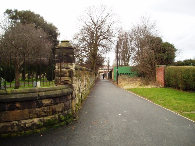
Image: © Mihacel Taken: 23 Feb 2003
The boundary walls of Bebington Cemetery run along this footpath. Known locally as the cinder path, now resurfaced by the council. This path runs along the back of the grandstand at the Oval Sports Centre, which is situated behind the photographer position.
Images are licensed for reuse under creativecommons.org/licenses/by-sa/2.0
Image Location
Latitude
53.359004
Longitude
-3.013884