Newbarn Drove (2)
Introduction
The photograph on this page of Newbarn Drove (2) by Simon Carey as part of the Geograph project.
The Geograph project started in 2005 with the aim of publishing, organising and preserving representative images for every square kilometre of Great Britain, Ireland and the Isle of Man.

There are currently over 7.5m images from over 14,400 individuals and you can help contribute to the project by visiting https://www.geograph.org.uk
Newbarn Drove (2)
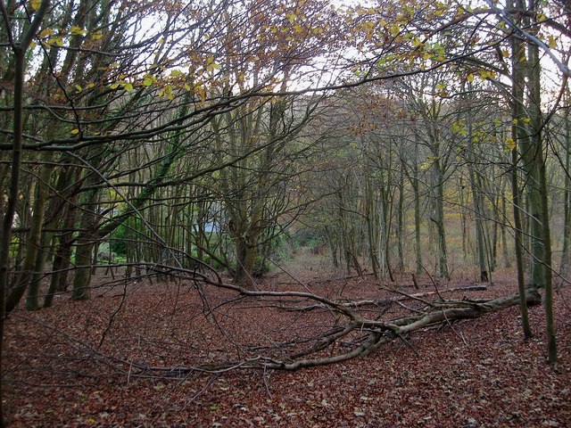
Image: © Simon Carey Taken: 30 Nov 2013
A former droveway that once linked New Barn to the old highway that linked Westdean to the Jevington Road that is now a bridleway. This section heads south to Image which can just be seen through the trees but is now blocked with the access road to that property. The old banks at the side of the drove can just be made out here unlike the northern part which is now shrinking as the trees encroach, see Image
Images are licensed for reuse under creativecommons.org/licenses/by-sa/2.0
Image Location


Leaflet Map data © OpenStreetMap
Latitude
50.772996
Longitude
0.174633