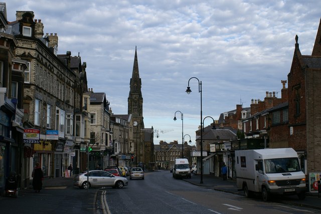
Ramshill Road
Introduction
The photograph on this page of Ramshill Road by Christopher Hall as part of the Geograph project.
The Geograph project started in 2005 with the aim of publishing, organising and preserving representative images for every square kilometre of Great Britain, Ireland and the Isle of Man.
There are currently over 7.5m images from over 14,400 individuals and you can help contribute to the project by visiting https://www.geograph.org.uk

Image: © Christopher Hall Taken: 27 Nov 2013
This view north along Ramshill Road is terminated by St Andrews United Reformed Church. This massive church in the gothic style built between 1864 and 1868 is known as 'The Cathedral of Non-conformism'. Ramshill Road was originally the road to Bridlington but from the mid 19th century it became a shopping and service street to meet the needs of the growing population on South Cliff. On the left typical 19th century shops and on the near right the former St Martin's Grammar School

