Tree and wind turbine, Sconner Down
Introduction
The photograph on this page of Tree and wind turbine, Sconner Down by Derek Harper as part of the Geograph project.
The Geograph project started in 2005 with the aim of publishing, organising and preserving representative images for every square kilometre of Great Britain, Ireland and the Isle of Man.

There are currently over 7.5m images from over 14,400 individuals and you can help contribute to the project by visiting https://www.geograph.org.uk
Tree and wind turbine, Sconner Down
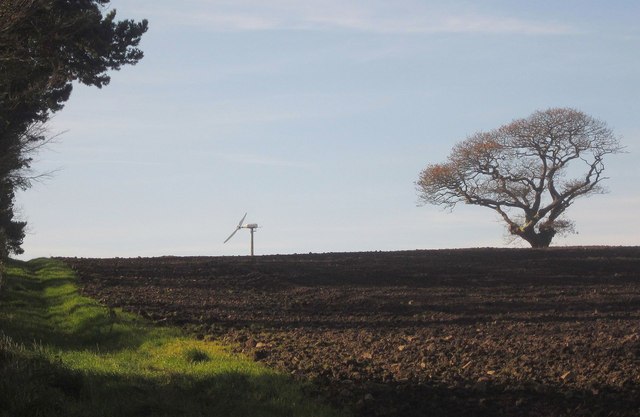
Image: © Derek Harper Taken: 30 Nov 2013
From where footpath 637/8 crosses the high lane from Polbathic to Polscoe. Link 2 of the path runs alongside this field boundary, on the other side of which are two comms masts.
Images are licensed for reuse under creativecommons.org/licenses/by-sa/2.0
Image Location


Leaflet Map data © OpenStreetMap
Latitude
50.383398
Longitude
-4.31702