Cawn Lane Cottage
Introduction
The photograph on this page of Cawn Lane Cottage by David Baird as part of the Geograph project.
The Geograph project started in 2005 with the aim of publishing, organising and preserving representative images for every square kilometre of Great Britain, Ireland and the Isle of Man.

There are currently over 7.5m images from over 14,400 individuals and you can help contribute to the project by visiting https://www.geograph.org.uk
Cawn Lane Cottage
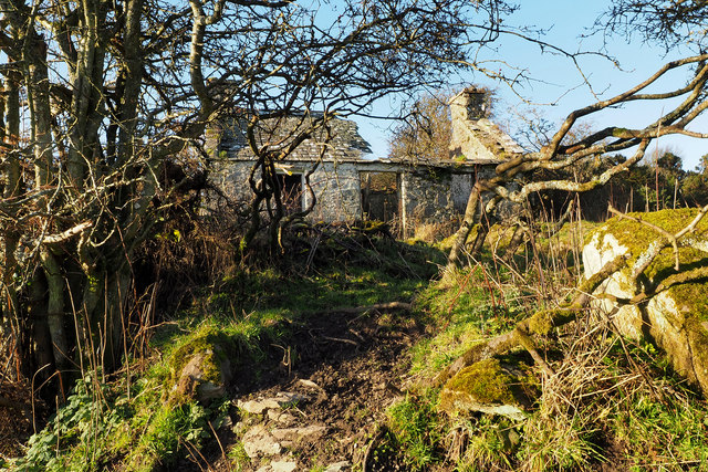
Image: © David Baird Taken: 4 Dec 2013
A derelict cottage standing beside the old Glasserton Kirk track, named Cawn Lane Cottage on the 1850 6 inch OS map.
Images are licensed for reuse under creativecommons.org/licenses/by-sa/2.0
Image Location


Leaflet Map data © OpenStreetMap
Latitude
54.716447
Longitude
-4.471476