Path up to Church of All Saints, Ugglebarnby
Introduction
The photograph on this page of Path up to Church of All Saints, Ugglebarnby by Christopher Hall as part of the Geograph project.
The Geograph project started in 2005 with the aim of publishing, organising and preserving representative images for every square kilometre of Great Britain, Ireland and the Isle of Man.

There are currently over 7.5m images from over 14,400 individuals and you can help contribute to the project by visiting https://www.geograph.org.uk
Path up to Church of All Saints, Ugglebarnby
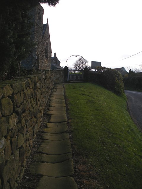
Image: © Christopher Hall Taken: 29 Nov 2013
The path up to the church yard is elevated above the road and separated from it by a grassy bank. The path is a well worm stone causeway; these are known as trods in the North York Moors. The tower and gable end of the church are seen in the top left corner
Images are licensed for reuse under creativecommons.org/licenses/by-sa/2.0
Image Location
Latitude
54.452225
Longitude
-0.644722