Valley of the River Witham off Washdike Lane
Introduction
The photograph on this page of Valley of the River Witham off Washdike Lane by Tim Heaton as part of the Geograph project.
The Geograph project started in 2005 with the aim of publishing, organising and preserving representative images for every square kilometre of Great Britain, Ireland and the Isle of Man.

There are currently over 7.5m images from over 14,400 individuals and you can help contribute to the project by visiting https://www.geograph.org.uk
Valley of the River Witham off Washdike Lane
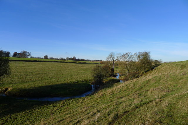
Image: © Tim Heaton Taken: 1 Dec 2013
The river valley runs between ridges occupied by the A1 (Great North Road) to the West (left), and the Roman Erimine Street (High Dike) to the east.
Images are licensed for reuse under creativecommons.org/licenses/by-sa/2.0
Image Location
Latitude
52.848946
Longitude
-0.62004