A374, Polbathic
Introduction
The photograph on this page of A374, Polbathic by Derek Harper as part of the Geograph project.
The Geograph project started in 2005 with the aim of publishing, organising and preserving representative images for every square kilometre of Great Britain, Ireland and the Isle of Man.

There are currently over 7.5m images from over 14,400 individuals and you can help contribute to the project by visiting https://www.geograph.org.uk
A374, Polbathic
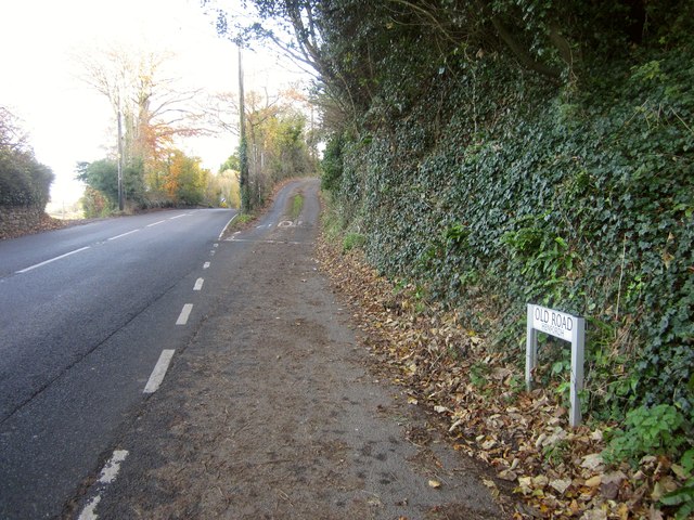
Image: © Derek Harper Taken: 30 Nov 2013
Kellow Park, or Old Road depending on the map you are looking at, climbs away to the right, towards Sconner Down.
Images are licensed for reuse under creativecommons.org/licenses/by-sa/2.0
Image Location
Latitude
50.388761
Longitude
-4.32319