Former Penweddig School
Introduction
The photograph on this page of Former Penweddig School by Ian Capper as part of the Geograph project.
The Geograph project started in 2005 with the aim of publishing, organising and preserving representative images for every square kilometre of Great Britain, Ireland and the Isle of Man.

There are currently over 7.5m images from over 14,400 individuals and you can help contribute to the project by visiting https://www.geograph.org.uk
Former Penweddig School
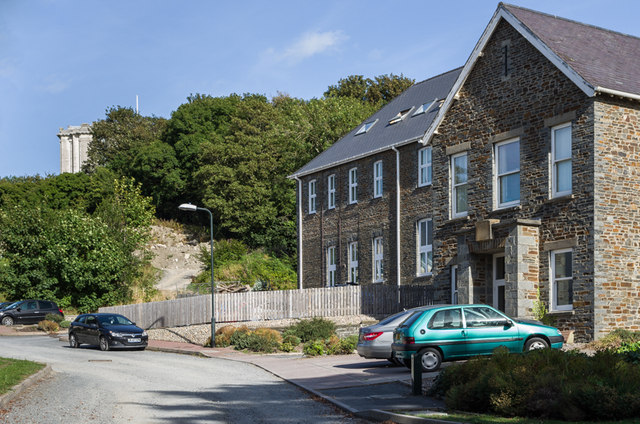
Image: © Ian Capper Taken: 31 Aug 2013
Part of the former Penweddig School, previously the County School. For view of the front of the building see Image The whole complex has now been converted to housing. In the left background can be seen part of the National Library of Wales.
Images are licensed for reuse under creativecommons.org/licenses/by-sa/2.0
Image Location
Latitude
52.414046
Longitude
-4.071512