Southern end of an abandoned section of the B30
Introduction
The photograph on this page of Southern end of an abandoned section of the B30 by Eric Jones as part of the Geograph project.
The Geograph project started in 2005 with the aim of publishing, organising and preserving representative images for every square kilometre of Great Britain, Ireland and the Isle of Man.

There are currently over 7.5m images from over 14,400 individuals and you can help contribute to the project by visiting https://www.geograph.org.uk
Southern end of an abandoned section of the B30
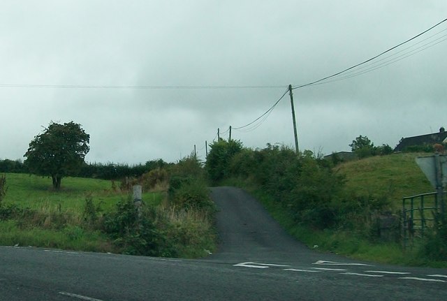
Image: © Eric Jones Taken: 21 Aug 2013
This straight bit of road across a hill has been by-passed by new stretch of road.
Images are licensed for reuse under creativecommons.org/licenses/by-sa/2.0
Image Location
Latitude
54.067182
Longitude
-6.634327