Lane near former gas works
Introduction
The photograph on this page of Lane near former gas works by Christopher Hall as part of the Geograph project.
The Geograph project started in 2005 with the aim of publishing, organising and preserving representative images for every square kilometre of Great Britain, Ireland and the Isle of Man.

There are currently over 7.5m images from over 14,400 individuals and you can help contribute to the project by visiting https://www.geograph.org.uk
Lane near former gas works
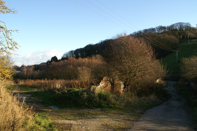
Image: © Christopher Hall Taken: 6 Dec 2013
This lane runs from Seamer Road towards the slopes of Oliver's Mount. The pasture here is known as The Donkey Field. On the left the brickwork is the remains a part of Scarborough gas works as is the wall on the right
Images are licensed for reuse under creativecommons.org/licenses/by-sa/2.0
Image Location
Latitude
54.267937
Longitude
-0.413378