Footpath above Polbathic Lake valley
Introduction
The photograph on this page of Footpath above Polbathic Lake valley by Derek Harper as part of the Geograph project.
The Geograph project started in 2005 with the aim of publishing, organising and preserving representative images for every square kilometre of Great Britain, Ireland and the Isle of Man.

There are currently over 7.5m images from over 14,400 individuals and you can help contribute to the project by visiting https://www.geograph.org.uk
Footpath above Polbathic Lake valley
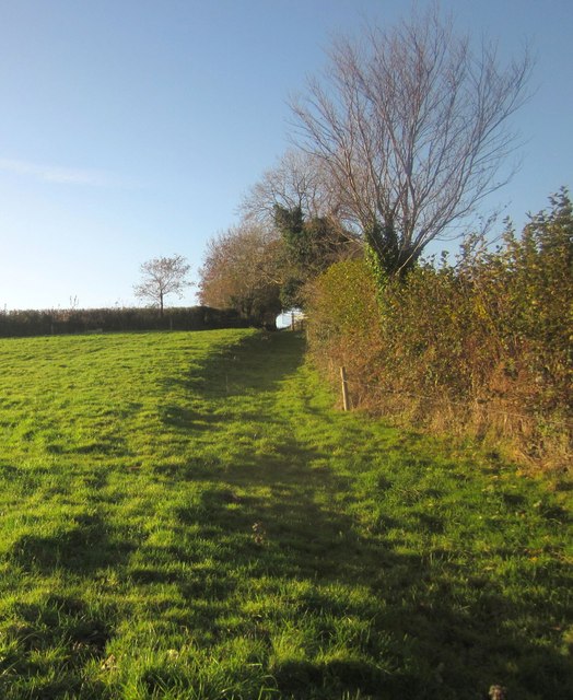
Image: © Derek Harper Taken: 30 Nov 2013
A sunken track up the edge of the field is picked out by the low sun. This is footpath 641/15/1, approaching the lane between Polbathic and Narkurs.
Images are licensed for reuse under creativecommons.org/licenses/by-sa/2.0
Image Location


Leaflet Map data © OpenStreetMap
Latitude
50.388566
Longitude
-4.341892