Disused railway line
Introduction
The photograph on this page of Disused railway line by Rob Burke as part of the Geograph project.
The Geograph project started in 2005 with the aim of publishing, organising and preserving representative images for every square kilometre of Great Britain, Ireland and the Isle of Man.

There are currently over 7.5m images from over 14,400 individuals and you can help contribute to the project by visiting https://www.geograph.org.uk
Disused railway line
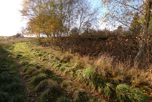
Image: © Rob Burke Taken: 12 Nov 2013
This is the line of the former railway Scottish Midland Junction Railway http://en.wikipedia.org/wiki/Scottish_Midland_Junction_Railway. The modern track turns right here to join the road, but the line of the railway (and a footpath) continues straight on to a bridge on the extreme left of the picture. A raised platform is just visible through the trees on the right, and I wonder if it might be the Ballathie Goods halt mentioned in the Wikipedia article.
Images are licensed for reuse under creativecommons.org/licenses/by-sa/2.0
Image Location
Latitude
56.512204
Longitude
-3.407684