The Wolseley Arms, at Wolseley Bridge, near Rugeley
Introduction
The photograph on this page of The Wolseley Arms, at Wolseley Bridge, near Rugeley by Tricia Neal as part of the Geograph project.
The Geograph project started in 2005 with the aim of publishing, organising and preserving representative images for every square kilometre of Great Britain, Ireland and the Isle of Man.

There are currently over 7.5m images from over 14,400 individuals and you can help contribute to the project by visiting https://www.geograph.org.uk
The Wolseley Arms, at Wolseley Bridge, near Rugeley
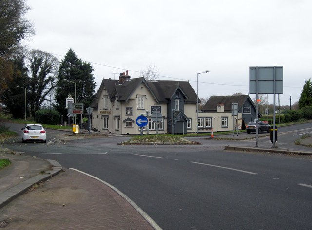
Image: © Tricia Neal Taken: 5 Dec 2013
In my childhood this pub was called The Roebuck, and their website says it changed its name in 1960. The website also says that it was once used as a regular changing place for coaches on long journeys before railways were introduced, and at one time over a hundred horses were kept at this site.
Images are licensed for reuse under creativecommons.org/licenses/by-sa/2.0
Image Location
Latitude
52.780279
Longitude
-1.971049