Crumlin River
Introduction
The photograph on this page of Crumlin River by Robert Ashby as part of the Geograph project.
The Geograph project started in 2005 with the aim of publishing, organising and preserving representative images for every square kilometre of Great Britain, Ireland and the Isle of Man.

There are currently over 7.5m images from over 14,400 individuals and you can help contribute to the project by visiting https://www.geograph.org.uk
Crumlin River
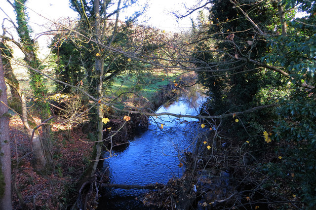
Image: © Robert Ashby Taken: 4 Dec 2013
The Crumlin River reflects a blue winter sky as it passes under Cidercourt Road on its way to Lough Neagh, about a mile away. Taken from Cidercourt Bridge close to Crumlin.
Images are licensed for reuse under creativecommons.org/licenses/by-sa/2.0
Image Location
Latitude
54.625005
Longitude
-6.243316