Farnborough School demolition
Introduction
The photograph on this page of Farnborough School demolition by Alan Murray-Rust as part of the Geograph project.
The Geograph project started in 2005 with the aim of publishing, organising and preserving representative images for every square kilometre of Great Britain, Ireland and the Isle of Man.

There are currently over 7.5m images from over 14,400 individuals and you can help contribute to the project by visiting https://www.geograph.org.uk
Farnborough School demolition
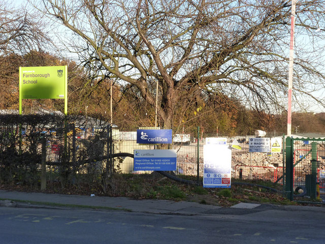
Image: © Alan Murray-Rust Taken: 1 Dec 2013
The sign is essentially all that remains of the old school other than some piles of rubble.
Images are licensed for reuse under creativecommons.org/licenses/by-sa/2.0
Image Location
Latitude
52.90906
Longitude
-1.167277