Viaduct
Introduction
The photograph on this page of Viaduct by Graham Richards as part of the Geograph project.
The Geograph project started in 2005 with the aim of publishing, organising and preserving representative images for every square kilometre of Great Britain, Ireland and the Isle of Man.

There are currently over 7.5m images from over 14,400 individuals and you can help contribute to the project by visiting https://www.geograph.org.uk
Viaduct
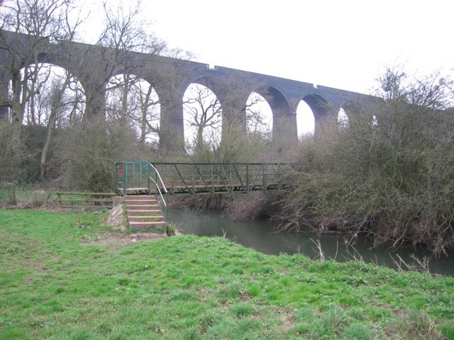
Image: © Graham Richards Taken: 25 Mar 2007
The 25000 series map shows the viaduct mostly in this square. The footbridge is, however, clearly in the next square to the north. The viaduct carries the trains on the line between London and Wales via Bristol Parkway 3 km away to the west.
Images are licensed for reuse under creativecommons.org/licenses/by-sa/2.0
Image Location


Leaflet Map data © OpenStreetMap
Latitude
51.51751
Longitude
-2.496147