The River Ash, upstream from Squire's Bridge
Introduction
The photograph on this page of The River Ash, upstream from Squire's Bridge by Stefan Czapski as part of the Geograph project.
The Geograph project started in 2005 with the aim of publishing, organising and preserving representative images for every square kilometre of Great Britain, Ireland and the Isle of Man.

There are currently over 7.5m images from over 14,400 individuals and you can help contribute to the project by visiting https://www.geograph.org.uk
The River Ash, upstream from Squire's Bridge
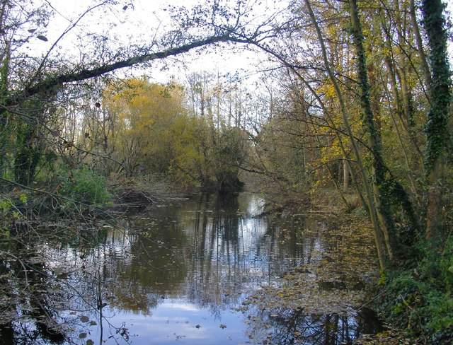
Image: © Stefan Czapski Taken: 4 Dec 2013
The River Ash may have given its name to Ashford, but in all other respects is one of the least known rivers in this area - less well known, for instance, than the Wraysbury River or the Colne. This stretch doesn't give the impression of having been heavily engineered - its bed is wide and must be fairly shallow. Flow is so sluggish that there are few places where the direction of flow can be made out. The shot was taken from a little bridge within sight of the David Lean Building, Shepperton Studios.
Images are licensed for reuse under creativecommons.org/licenses/by-sa/2.0
Image Location
Latitude
51.405605
Longitude
-0.468529