Road near East Glasdon
Introduction
The photograph on this page of Road near East Glasdon by Derek Harper as part of the Geograph project.
The Geograph project started in 2005 with the aim of publishing, organising and preserving representative images for every square kilometre of Great Britain, Ireland and the Isle of Man.

There are currently over 7.5m images from over 14,400 individuals and you can help contribute to the project by visiting https://www.geograph.org.uk
Road near East Glasdon
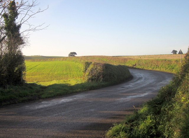
Image: © Derek Harper Taken: 30 Nov 2013
Seen from a staggered crossroads, this road leads in the direction of Looe and Polbathic, but it's a fairly circuitous route to get anywhere.
Images are licensed for reuse under creativecommons.org/licenses/by-sa/2.0
Image Location
Latitude
50.402301
Longitude
-4.334266