Windrush Road, Stonebridge Park
Introduction
The photograph on this page of Windrush Road, Stonebridge Park by David Howard as part of the Geograph project.
The Geograph project started in 2005 with the aim of publishing, organising and preserving representative images for every square kilometre of Great Britain, Ireland and the Isle of Man.

There are currently over 7.5m images from over 14,400 individuals and you can help contribute to the project by visiting https://www.geograph.org.uk
Windrush Road, Stonebridge Park
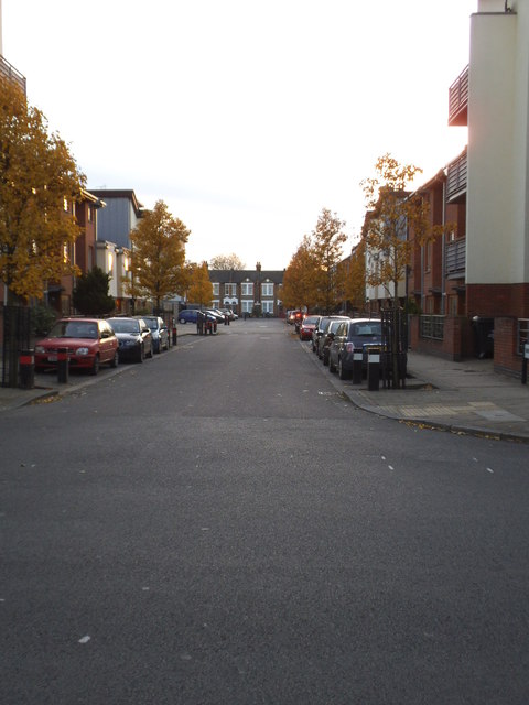
Image: © David Howard Taken: 4 Dec 2013
All the roads with modern housing have been built in the last few years, including this one. The original Victorian roads can be seen at the end on Milton Avenue.
Images are licensed for reuse under creativecommons.org/licenses/by-sa/2.0
Image Location
Latitude
51.539219
Longitude
-0.261305