West End Close, Stonebridge Park
Introduction
The photograph on this page of West End Close, Stonebridge Park by David Howard as part of the Geograph project.
The Geograph project started in 2005 with the aim of publishing, organising and preserving representative images for every square kilometre of Great Britain, Ireland and the Isle of Man.

There are currently over 7.5m images from over 14,400 individuals and you can help contribute to the project by visiting https://www.geograph.org.uk
West End Close, Stonebridge Park
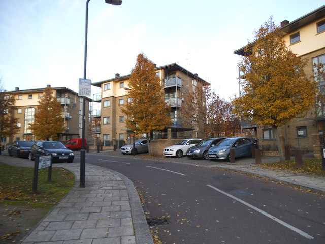
Image: © David Howard Taken: 4 Dec 2013
I never knew this area well as bypass the entire corner of Harlesden as it does not link with any local routes, but most of it has been totally rebuilt like this in the last few years as none of these were here last time I was.
Images are licensed for reuse under creativecommons.org/licenses/by-sa/2.0
Image Location
Latitude
51.541881
Longitude
-0.264953